FastGIS at Work
Introduce your location to the world.
Add the power of FastFacility GIS based technology to your website.
Some of our Clients
We understand -as do our clients - that GIS is not just about the technology, it is about providing prospects a full understanding of their location.
FastGIS combines jaw-dropping GIS functionality with advanced Microsoft Bing mapping to provide an incomparable user experience that outputs more data than any other provider. Have a look for yourself...
![]()
NvEnergy
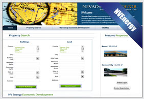
NVEnergy’s FastGIS built database allows users to virtually view the entire state of Nevada...
Defiance County, Ohio
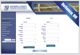
Defiance has built a vibrant view of their corner of Ohio...
Cedar Hill, Texas
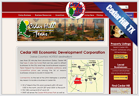
Cedar Hill has selected FastGIS as its new GIS provider...
Brownsville EDC,Texas
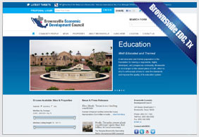
Brownsville EDC has selected FastGIS as its new GIS provider...
Opelika, Alabama
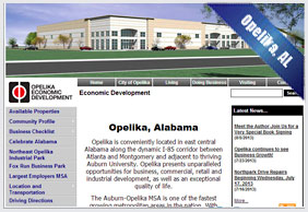
Opelika has selected FastGIS as its new GIS provider...
Vaughan, Ontario, CA
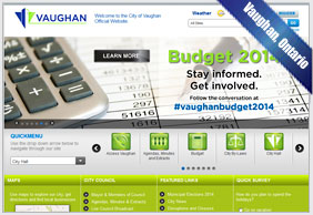
Vaughan has selected FastGIS as its new GIS provider...
FastMap wraps our powerful FastFacility GIS platform and demographic engine around advanced Bing mapping to create the industry's best and most economical database option.
DeSoto EDC, Texas
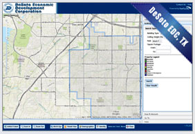
DeSoto EDC has selected FastMap as its new GIS provider...
Jacksboro EDC, Texas
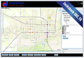
Jacksboro EDC, has selected FastMap as its new GIS provider...
Sequoia Valley, CA
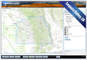
Sequoia Valley, has selected FastMap as its new GIS provider...
NvEnergy
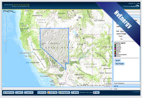
NvEnergy, has selected FastMap as its new GIS provider....
Tulare County, California
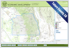
Tulare County, has selected FastMap as its new GIS provider...
Bridgeport EDC, Texas
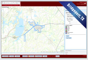
Bridgeport EDC has selected FastMap as its new GIS provider...
Defiance County, Ohio
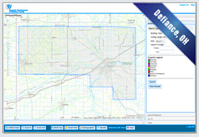
Defiance County, has selected FastMap as its new GIS provider...
Midlothian ED, Texas
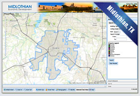
Midlothian ED, has selected FastMap as its new GIS provider...
Midland, Texas
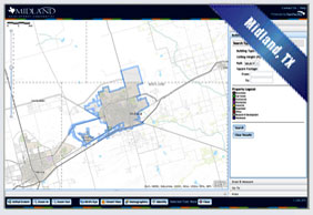
Midland, has selected FastMap as its new GIS provider...
Broome County IDA, NY
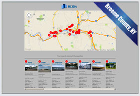
Broome County IDA, has selected FastMap as its new GIS provider...
About Us
FastGIS is a solution developed by FastFacility LLC that provides custom designed and built services including full GIS. FastFacility.com is the nationally marketed portal for available building and site listings. FastFacility LLC is a partnership between Area Development and Evince Corporation.
What's Inside
What They Say
© Copyright 2014 - FastFacility LLC. All Rights Reserved